This one puts a lot of it together. It haunts your understanding. Mind blown!
View: https://youtu.be/PI6VUM0IPSY?si=wsXCt0blpjmXOgZs
View: https://youtu.be/PI6VUM0IPSY?si=wsXCt0blpjmXOgZs
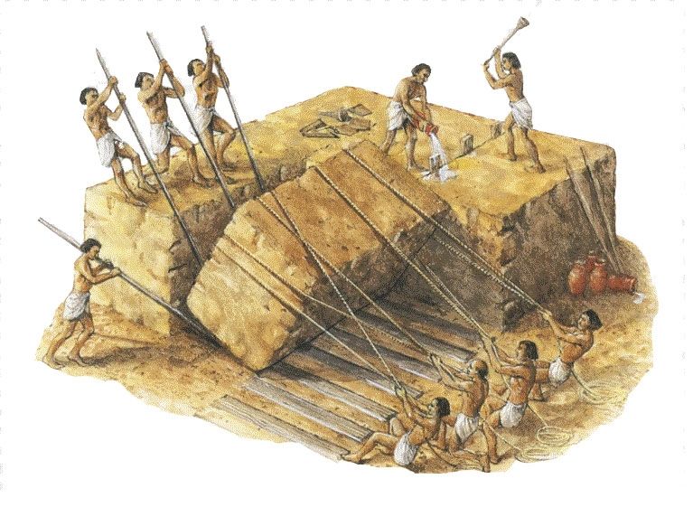
I’ve started watching Ancient Apocalypse on Netflix with Graham Hancock. Very interesting show, I’m about 3 episodes in to it. On another note, the Dogon people in Africa have a knowledge of Sirius B. A star which is not visible to the naked eye. ( white dwarf). It has an elliptical orbit about Sirius A the brightest star in our night sky. They have described this orbit accurately and have had this knowledge for thousands of years. Long before less “primitive” cultures discovered it.
At some point REAL research needs to occur at this site.
A handful of curious archaeologists isn’t going to cut it.
Sorry if this has already been posted, but I know @Selassie I and @Merlin are into this stuff!
View: https://www.youtube.com/watch?v=pzGbYPaLtJ4

Apparently they are not firing RF energy into the ground. Rather they are imaging vibrations from Cairo.
This stuff is nuts, sounds similar to how they have mapped the interior of Earth.
SAR is radar that uses a fast fourier transform to create an image. That old deceased French dude would love to know how his equations are being used today.
View: https://youtu.be/8DZ1p-lF3rI?si=8q9BcK1VQ3hAaer7
But the guy in my video is right. Why not pick an example underground that is known to use this sonar technique (not radar) to confirm the science since it costs nothing to do? Why use a tunnel under a dam to prove it? And why play with numbers in no logical way to somehow prove your point?The technology in theory should work. SAR is a technology that has been around since the 80s, and prior actually but it really started to mature in aviation military applications in the 90s (imaging radars for firing solutions and related applications). And there are examples of imaging they have done for the content of Earth's core. We have the sensitivity of equipment in theory to pull this off and it would not surprise me if the US govt has been doing this for some time. Satellite capabilities and programs are stovepiped so badly you can't learn shit about them unless you're in the program. So this is an example of scientists figuring out an approach the CIA has probably been using. I don't question that this is possible.
Question is whether these guys made any mistakes in their process. Even the slightest errors would ruin the result. But it's a very interesting news headline and has insane implications. There will truly be nowhere to hide for anything as govts are concerned. Your deepest bunker structures will be known.